Randonnée A pied King's Lynn and West Norfolk - Brancaster Staithe Circular - Photo

Tous les sentiers balisés d’Europe GUIDE+

© OpenStreetMap contributors
Longueur
Longueur
7,7 km
Altitude max
Altitude max
55 m
Dénivelé positif
Dénivelé positif
77 m
Km-Effort
Km-Effort  
8,7 km
Altitude min
Altitude min
3 m
Dénivelé négatif
Dénivelé négatif
78 m
Boucle
Boucle
Oui
Balise
Balise
Date de création :
2025-02-05 16:20:21.331
Dernière modification :
2025-02-05 16:20:21.331

(0 Avis)

A pied
A pied
1h58
Difficulté : Facile

Scannez ce code QR pour ouvrir la randonnée dans l'application SityTrail

Application GPS de randonnée GRATUITE

Logo SityTrail SityTrail

IGN / Instituts géographiques

Télécharger SityTrail sur l'App Store Télécharger SityTrail sur Google Play

Logo SityTrail SityTrail World

Le monde est à vous

Télécharger SityTrail sur l'App Store Télécharger SityTrail sur Google Play Télécharger SityTrail sur Huawei AppGallery

À propos

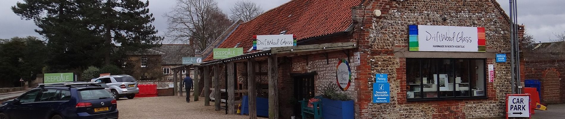
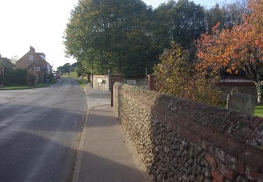
Randonnée A pied de 7,7 km à découvrir à Angleterre, Norfolk, King's Lynn and West Norfolk. Cette randonnée est proposée par SityTrail - itinéraires balisés pédestres.

Description

The Brancaster Staithe walk is a contrast of saltmarsh and sailing regattas, wind and woodland

Site web: https://www.norfolk.gov.uk/out-and-about-in-norfolk/norfolk-trails/coastal-treasures/walking-routes/brancaster-staithe

Photos

Localisation

Pays :
Royaume-Uni
Région :
Angleterre
Département/Province :
Norfolk
Commune :
King's Lynn and West Norfolk
Localité :
Unknown
Départ:(UTM)
344449 ; 5870896 (31U) N.

Randonnées à proximité

Randonnée A pied King's Lynn and West Norfolk - Brancaster Circular Walk - Photo
A pied
GUIDE+

A pied

Facile
King's Lynn and West Norfolk, Angleterre, Norfolk, Royaume-Uni
6,8 km | 7,5 km-effort
1h 42min
Oui


Fermer
Mes abonnements